LAND SURVEYING
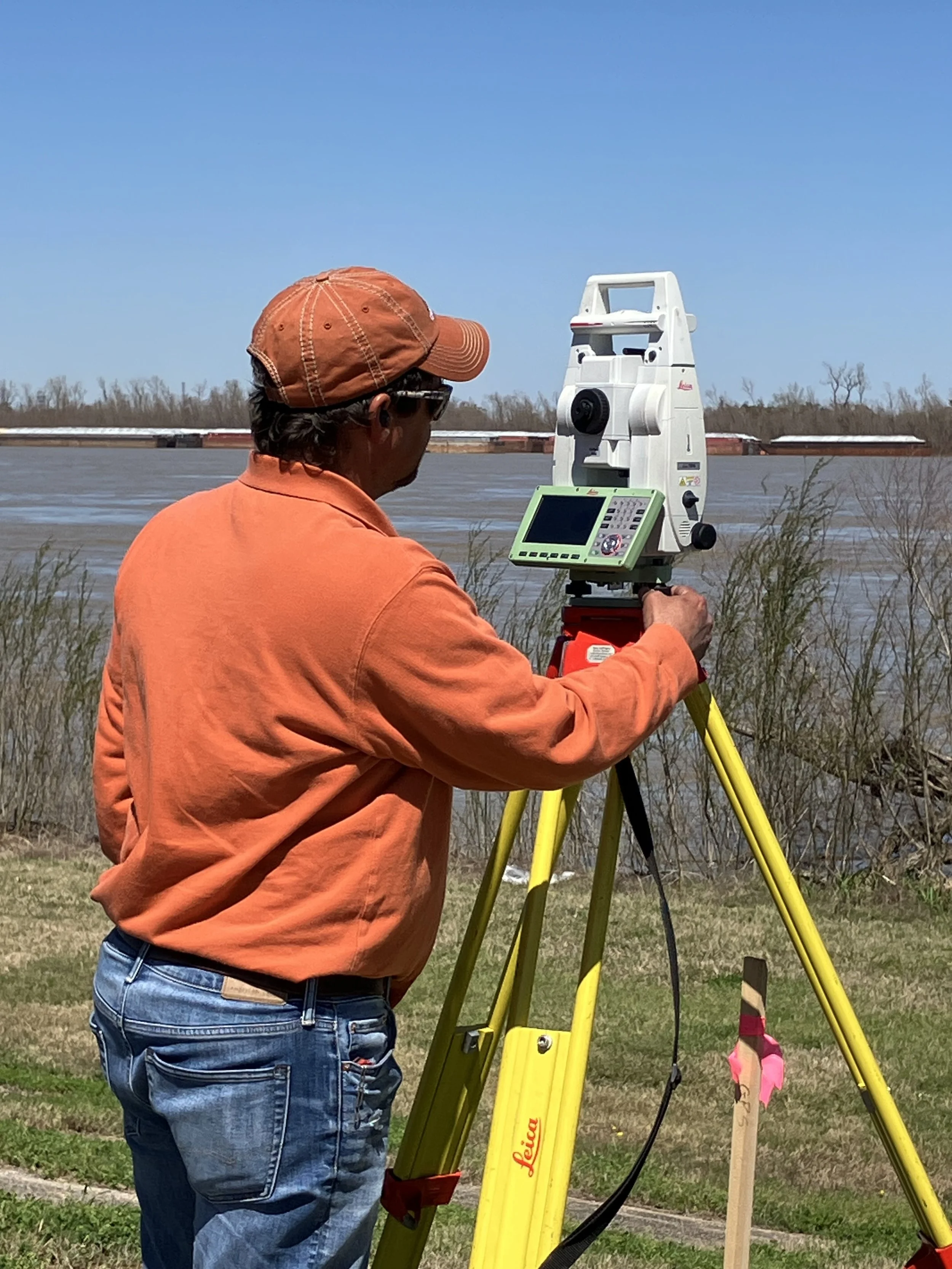
Our Survey Department provides comprehensive services including topographic, boundary, hydrographic, roadway, levee, coastal marsh, and other specialized surveys. We use modern surveying equipment and techniques to deliver accurate, reliable field data across a wide range of site conditions. All survey data is processed and delivered in digital formats compatible with AutoCAD, MicroStation, and other design platforms, supporting efficient integration into engineering and mapping workflows. Projects are completed using established horizontal and vertical control standards to ensure accuracy, consistency, and compliance with project requirements.
Boundary Surveys
Topographic Surveys
Construction Staking
Route & Right-of-Way (ROW) Surveys
Utility Location & Mapping
SERVICES OFFERED
ALTA/NSPS Land Title Surveys
GPS Control Surveys
As-Built Surveys
Easement & Property Surveys
Subdivision Platting
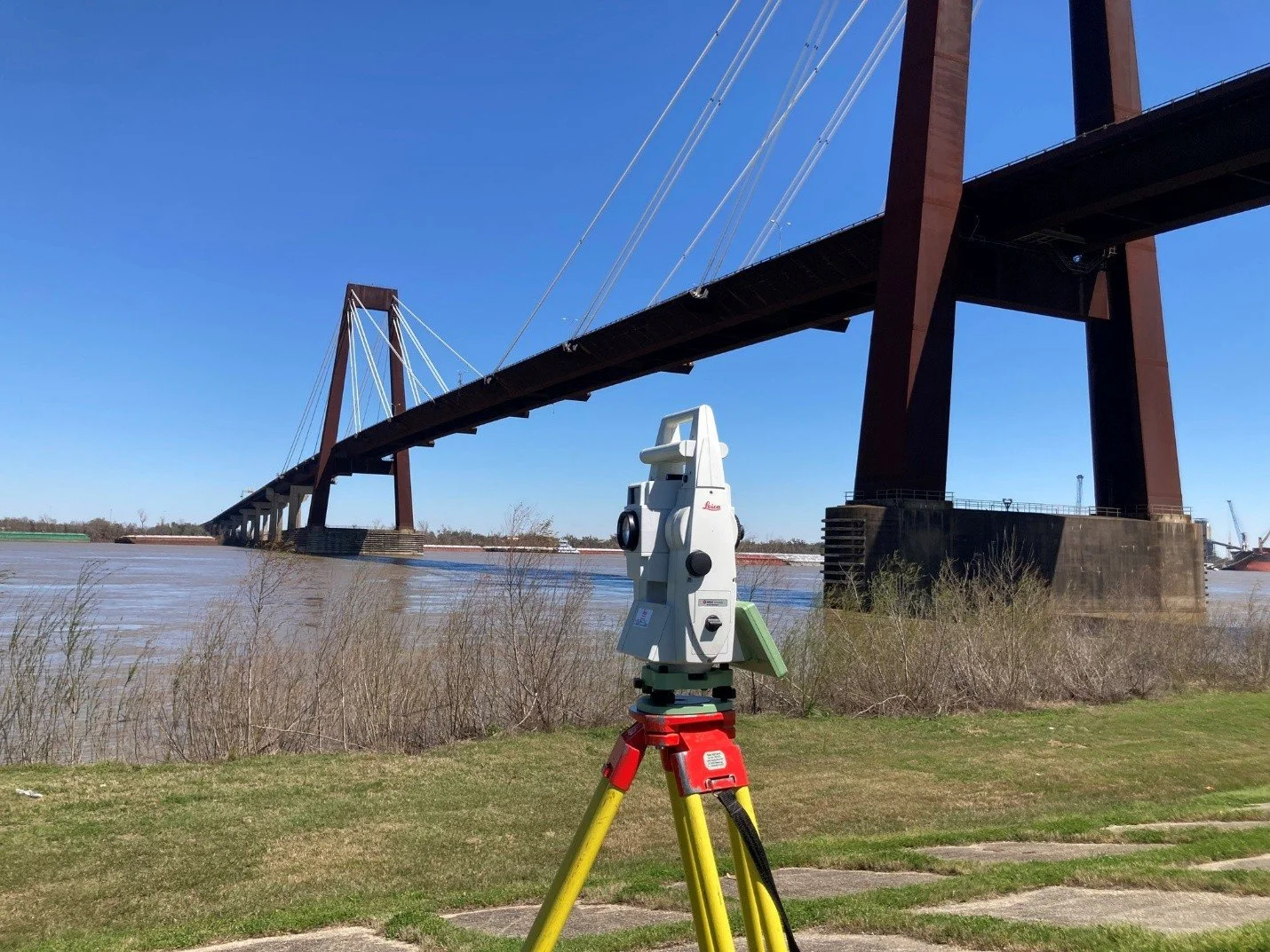
Luling Bridge